Dr. Maggi Kelly from University of California Berkeley (UC Berkeley) visited our group from March 30th to April 13th for discussing potential collaborations between UC Berkeley and Institute of Botany, Chinese Academy of Sciences. Dr. Kelly is currently a professor and cooperative extension specialist in the Environmental Science, Policy and Management department of UC Berkeley, and the director of the Geospatial Innovation Facility and Director of the ANR Statewide Program in Informatics and Geographic Information Systems. Her research focuses on using a range of techniques – remote sensing, object-based image analysis, geospatial modeling, lidar analysis, participatory webGIS and field methods – to answer applied questions about how and why California landscapes are changing, and what that change means for those who live on and manage our lands.

During her visit, she had a deep discussion with Prof. Qinghua Guo on the current challenges and solutions of near-surface remote sensing technology in ecological and geographical applications. Based on these discussions and her work, Dr. Kelly gave a talk in IBCAS on Arial 3rd entitled with “Spatial data science: mapping for impact”. She elaborated the topic with three case studies: how to monitor the ecological changes after forest management in the Sierra Nevada Mountains by means of remote sensing, how to use historical ecological data to study the impact of human activities on forests, and how to monitor plant moisture stress by UAV image.
Besides, Dr. Kelly also had close interactions with the student members in the Digital Ecosystem group, and share her experience on how to be creative on research and how to balance life with research.

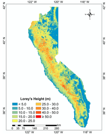 Forest tree height across the Sierra Nevada-1