CAFEDTM:Corrected and Agreement-weighted Fusion of Existing DTMs
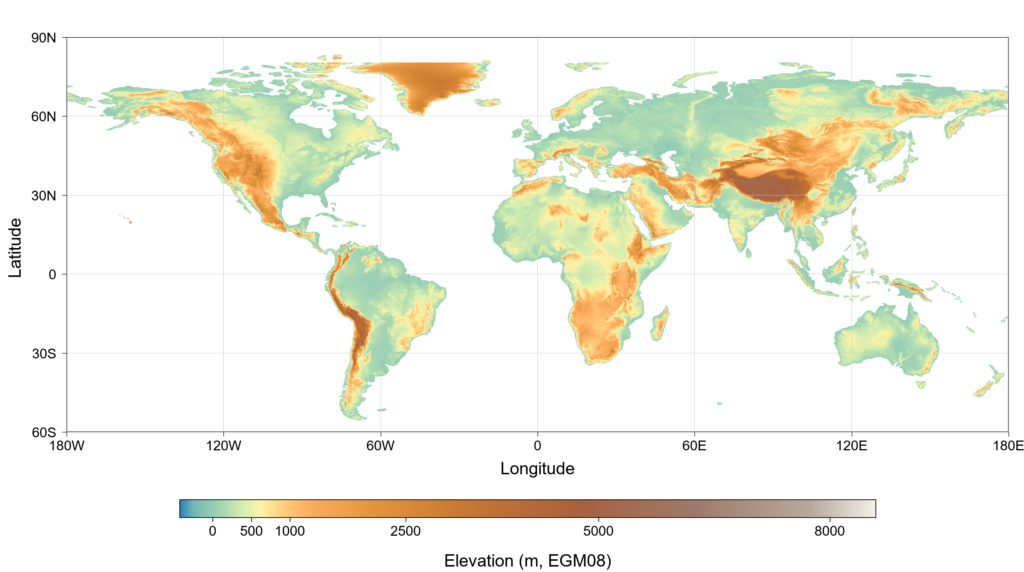
CAFEDTM (Corrected and Agreement-weighted Fusion of Existing DTMs) is a 30 m digital terrain model designed to improve bare-ground elevation estimates, particularly in forested landscapes. It combines FABDEM, GEDTM, MERITDEM, and SRTMc after harmonizing their vertical reference to EGM2008. Four product-specific CatBoost models were trained on approximately 252,400 samples sampled from lidar-derived reference DTMs in six countries to predict elevation residuals using vegetation, terrain, and inter-product agreement information. The predicted corrections were bounded and spatially smoothed before being applied to their respective source DTMs. At each pixel, the corrected elevations were weighted according to their agreement with the median of the four estimates; At 15 independent forest validation sites, CAFEDTM reduced elevation RMSE relative to the best-performing source DTM by 42.9%, 15.1%, and 24.5% in tropical, temperate, and boreal forests, respectively. Visual comparisons at selected sites also showed clearer valley and drainage patterns.
Reference:
Li Yu, Jiang Wenhao, Cheng Kai, Ren Yu, Chen Ang, Qi Zhiyong, Zhang Junmin, Lin Peirong, Guo Qinghua*. Multi-metric assessment and agreement-weighted fusion of global digital terrain models using lidar reference data. Manuscript submitted for publication.