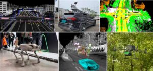
UAV lidar system taking off to collect data
Crop 3D: an integrated hardware system for high-throughput field phenotyping
Urban lidar point cloud in a sub-urban area
Prof. Qinghua Guo giving a lecture to introduce UAV lidar system
Field campaign in degraded grasslands across northern China
Lidar-based individual crop segmentation using deep learning method
Colorized lidar point cloud in a coniferous forest
Deep learning-based wheatear counting
Integrated near-surface lidar systems mounted on various platforms
Previous slide
Next slide


