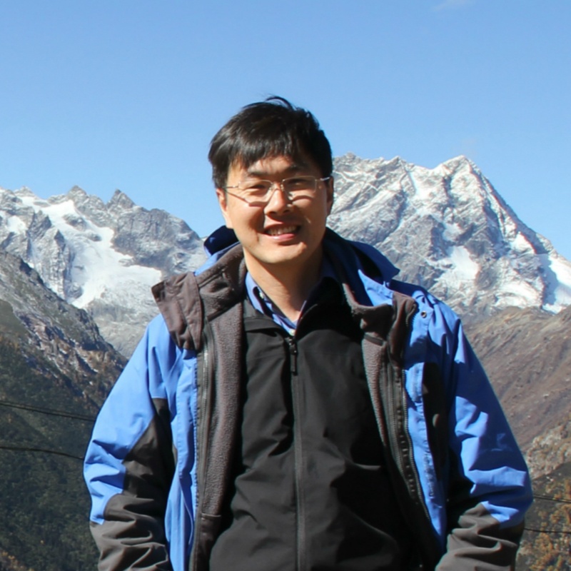
Qinghua Guo
Professor
PI of Digital Ecosystem Group
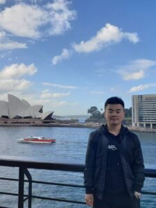


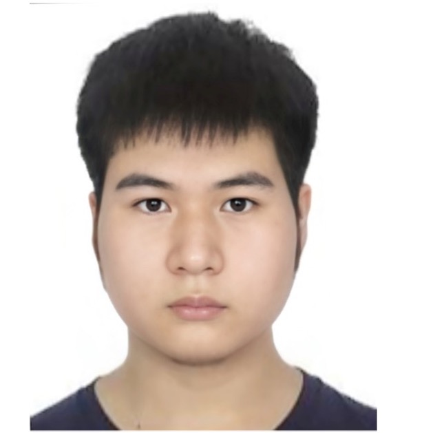
Zekun Yang
PhD Student

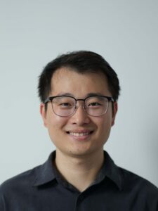
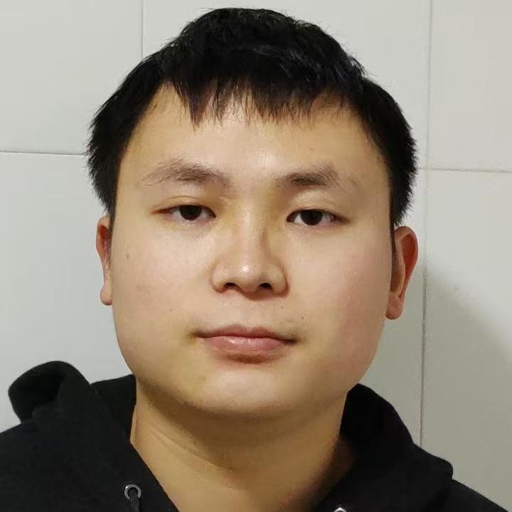
Zhixin Cheng
Master's Student
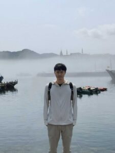
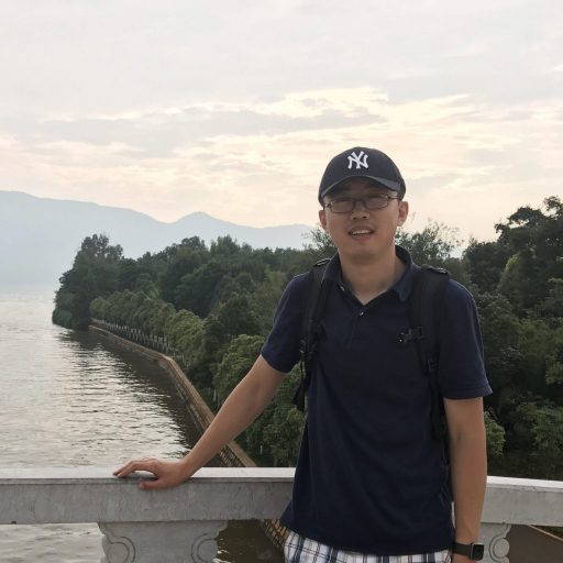
Mengxi Chen
PhD Student
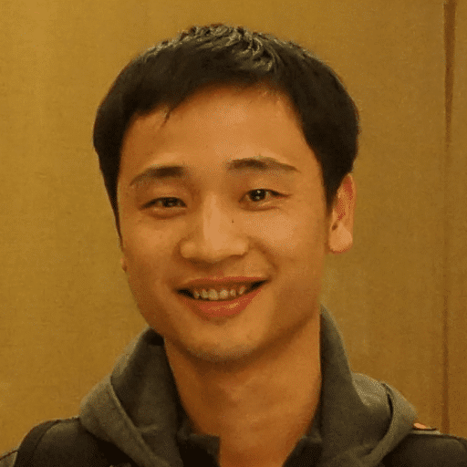
Jiachen Xu
Master's Student
Zhiyong Qi
PhD Student

Yixuan Zhang
PhD Student
Tianyu Xiang
Visiting Student
Junmin Zhang
Visiting Student
Yanjun Su
Professor
Institute of Botany, CAS
Wenkai Li
Associate Professor
Sun Yat-sen University
Shengli Tao
Assistant Professor
Peking University

Qin Ma
Professor
Nanjing Normal University
Xingcheng Lu
Assistant Professor
The Hong Kong University of Science and Technology
Tianyu Hu
Associate Professor
Institute of Botany, CAS

Jinxia Zhu
Associate Professor
Zhejiang University of Finance & Economics
Shichao Jin
Associate Professor
Nanjing Agriculture University
Hongcan Guan
Associate Professor
Hainan University
Xiaoqian Zhao
Research Scientist
Institute of Botany, CAS
Yumei Li
Assistant Professor
Institute of Zoology, CAS
Qiuping Zhai
Assistant Professor
Linyi University

Qiuli Yang
Associate Professor
Xinjiang University
Haitao Yang
Associate Professor
Hainan University
Yuling Chen
Special Research Assistant
Institute of Software Chinese Academy of Sciences